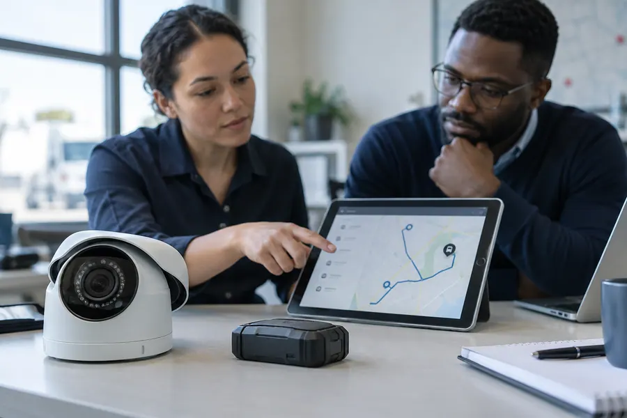
Plan fleet visibility, asset tracking and CCTV around the decisions your team needs to make. Coverage, power, connectivity and response responsibilities shape the design and agreed site work.
Location data alone does not improve operations when device suitability, connectivity, alert ownership, privacy and maintenance are undefined.
GPS & Tracking
Plan asset, fleet or field visibility around the decisions and response workflows that tracking must support.
Tracking requirement and site assessment
Device, connectivity and platform evaluation
Geofence, alert and event workflow design
Dashboard and reporting integration
Installation, maintenance and data-governance planning
We define the tracking objective and operating environment, assess suitable device and platform patterns, and design alerts, reporting and response responsibilities together.
Explore GPS & TrackingShow photo
The Claritas approach
We define the tracking objective and operating environment, assess suitable device and platform patterns, and design alerts, reporting and response responsibilities together.
Adding cameras without assessing coverage, lighting, storage, permissions and response procedures can create blind spots and a false sense of protection.
Smart Security
Design camera and connected-security systems around real risks, usable evidence and a defined response plan.
Site risk and coverage assessment
Camera, recording and network design
Remote monitoring and alert workflow planning
Access, retention and evidence-handling controls
Installation, testing and maintenance documentation
We begin with site risks and operating constraints, then plan zones, equipment, retention, access, connectivity and incident response as one system.
Explore Smart SecurityShow photo
The Claritas approach
We begin with site risks and operating constraints, then plan zones, equipment, retention, access, connectivity and incident response as one system.
Teams coordinating location-dependent service delivery
Businesses seeking clearer movement and exception visibility
Intended outcomes
Clear tracking objectives and authorised use
Coverage tied to documented site risks
Scope, prerequisites and handover
Before work starts, we agree the users, authorised access, deliverables, budget and acceptance criteria. Documentation, user handover and support are defined in the proposed scope; licences, equipment and third-party fees are identified separately.
From Limbe, we support SMEs, startups and teams in Cameroon and assess remote engagements for international clients, including the United States. On-site work depends on location and prior agreement; an overseas office or local installation service is not implied.
How we work together
1 / 4 · Discover
01
Discover
Clarify the need and constraints.
02
Design
Agree scope and architecture.
03
Deliver
Build, test and review together.
04
Enable
Train users and plan the next steps.
Common questions
Will tracking work everywhere?
Coverage depends on satellite visibility, communications networks, device installation, power and environmental conditions. A site and route assessment is required.
Can we receive movement alerts?
Yes, where supported by the selected system. Useful alert thresholds, recipients and escalation procedures must be agreed to avoid noise or missed responsibility.
How do you address privacy?
We clarify authorised purposes, user access, retention and any employee or customer implications before deployment. Legal review may be required for the intended use.
Can you quote without a site survey?
A preliminary range may be possible from documented requirements, but a dependable design and final scope normally require a site assessment.
How long should recordings be kept?
Retention depends on purpose, storage, risk and applicable privacy requirements. It should be deliberately set and legally reviewed where necessary.
Can cameras be viewed remotely?
Yes, when the selected system and connectivity support it. Remote access must use controlled accounts, secure configuration and clear authorisation.